When Does a Drone Complete an Autonomous Mission?
A programmed flight is only the beginning. A single-drone bridge inspection needs evidence of coverage, usable images, anomaly review and a credible recovery path.
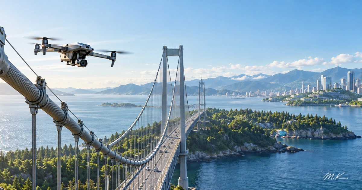
A drone can fly every programmed waypoint beside a bridge and still fail to inspect the bridge. It may miss a cable, collect images too blurred to evaluate, or mistake a shadow for a crack. If the team cannot tell what needs another flight and what needs an engineer's review, the mission has not really closed.
The step from remote control to an autonomous mission is the ability to verify the result and hand off failure clearly. Consider one inspection drone. It needs a plan, a position estimate, usable observations, a way to flag uncertainty and a path to recovery. This is a framework for evaluating a mission system, not a claim that a particular product can independently diagnose bridge structures. Coordination among multiple drones presents a separate set of problems.
A waypoint flight is not an inspected structure
ArduPilot's Auto mode documentation describes a flight controller following stored navigation and action commands, including camera triggers. A pilot can switch modes to take control. That is valuable route automation. The route itself cannot establish whether the intended surface was actually seen well enough to inspect.
ArduPilot's camera-mission documentation adds distance-based shutter triggers, gimbal direction and survey grids. These tools can make coverage more repeatable. Yet a successful trigger proves that an image was requested, not that it is sharp, unobstructed or suitable for evaluating a component.
I would ask five questions of a single-drone inspection mission:
- Did it go to the right places? Do the route, position estimate and operating limits match the intended site?
- Did it see the whole target? Is there usable evidence for each required component, rather than simply a high photo count?
- Did it interpret carefully? Are suspected anomalies linked to original images, locations and human review?
- What happened when conditions changed? How were low battery, degraded position, lost communications, weather and obstacles handled?
- Who closed the case? Which results were accepted, and which still require qualified human judgment?
These are my proposed acceptance questions, not an aviation certification standard or a list of proven features in one aircraft.
Navigation and avoidance need a site-specific test
A useful inspection image needs a trustworthy connection to the component it shows. If the position estimate drifts, a flight may look smooth while an image is assigned to the wrong place. Steel structures, occlusion and wind make an open-field demonstration a weak substitute for testing the intended site. Those are engineering risks to evaluate, not a prediction that a specific drone will fail.
PX4's multicopter Mission mode describes feasibility checks, including conflicts with a geofence and missing takeoff or landing items when required. ArduPilot's BendyRuler documentation explains one method of routing around sensed obstacles or fences in Auto, Guided and Return-to-Launch modes. These are concrete mechanisms. They do not imply that every aircraft has the required sensors or can detect every obstacle. A deployment has to account for its actual hardware, field of view, blind spots and operational limits.
Let vision point people to evidence, not declare a bridge safe
Imagine a model marking a possible crack in an image. That mark is a lead for review, not a structural-safety conclusion. Shadows, rust, joints and compression artifacts can confuse detection. Equally, an unmarked image does not certify that the component is sound. If the photo is poor, the responsible output may be “insufficient evidence; capture it again.”
My design argument is to separate image-quality acceptance from anomaly interpretation. First verify the target, location, clarity and coverage. Then let a model suggest items for review. Preserve the original image and decision record for a person to check. This is a proposed workflow, not a claim about any model's detection rate. Reporting only the number of AI-flagged defects while omitting missed or unusable views can make unfinished work look like productivity.
A safe interruption still leaves unfinished work
PX4's safety configuration covers configurable responses to conditions such as battery depletion, control-link loss, geofence breaches and position problems. Actions may include holding, returning or landing, depending on configuration. Those capabilities do not justify a universal promise that a disconnected aircraft will always return safely; behaviour depends on the vehicle, settings, environment and tests.
What happens after an interrupted landing also matters. Which bridge sections were completed? Which images are suspect? Why did the mission stop? Can a subsequent flight resume without a gap or an unexplained duplication? Can the human receiving the record see what remains? That is the difference between a flight-completion percentage and an acceptable inspection-completion percentage.
Airspace rules are another operating constraint. Transport Canada's summary of the 2025 rule changes describes new qualifications and conditions for certain lower-risk beyond-visual-line-of-sight operations from November 2025; it is not blanket permission for every BVLOS mission. The US FAA's Part 107 waiver page lists beyond-visual-line-of-sight flight among operations for which a waiver may be required. The regimes differ. A real mission must be checked against its location and permissions; this article does not assess an individual flight's legal status.
Count verified work, not impressive flight footage
As Physical AI and Its Real-World Limits explains, drones, vehicles and robots all sense, decide and act in the physical world. An inspection drone's value, however, comes from traceable work rather than a smooth video.
I would evaluate usable image coverage, the proportion requiring a repeat flight, the human review load, interruptions and recovery, and the total cost per acceptable inspection result. These are proposed measures, not published industry averages. They need to be reported with site conditions, weather, components and acceptance rules; otherwise a single “mission success” figure is hard to compare.
Autonomy is not the absence of hands on a controller. It is a system that can complete permitted work, recognize when evidence is insufficient and return unfinished work accurately to a person. If you are evaluating an inspection service, ask how it proves that each target was seen and who closes the case after a failed mission. Those answers are more useful than flight duration alone.
Frequently asked questions
Is a pre-programmed route an autonomous inspection mission?
No. It can automate flight and image capture. A completed inspection also needs evidence of usable coverage, a reviewable interpretation and a way to hand off missing work.
Does obstacle avoidance make bridge inspection safe?
It cannot guarantee that. Performance depends on sensors, settings, blind spots and local conditions. Position estimates, power, communications, geofences and permissions also matter, and failure responses need to be tested for the site.
Can an AI crack detection determine whether a bridge is unsafe?
No. A flagged area is a review lead. Image quality, location, false positives and missed findings need checking. Structural-safety conclusions belong to the applicable inspection process and qualified professionals.
What result should an operator measure first?
Track the share of required targets with usable evidence, the amount needing another flight or human review, and whether interrupted work can be resumed without hidden gaps.